Typical weekend with nothing to do, thunderstorms weren’t forecast at the time.
The temp was pretty warm which is always good for thunderstorm development and there wasn’t much high cloud or anything about to hinder convection. So things looked good. A low formed off the east coast of Banks Peninsula which caused a convergence and a few thunderstorms were the result, I didn’t have much idea on the wind conditions at the time but looking through the history from the Christchurch airport it appears to of been between a light northeasterly and a southwest which is a great situation for storms in Cantebury. This was one of my first times observing storms and I only had a tiny little 2 megapixel camera called a “Mustek, Gsmart LCD2” digital camera. It wasn’t great but some pictures that came out if it I thought looked ok.
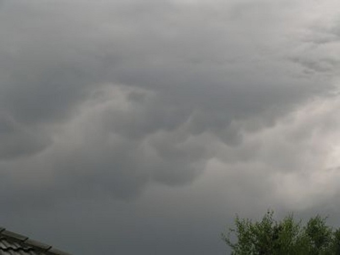
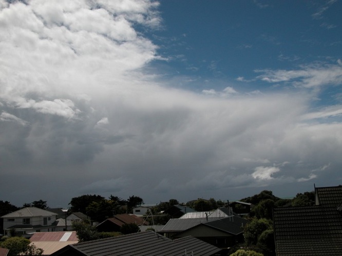
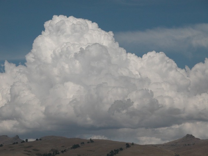
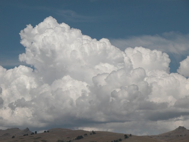
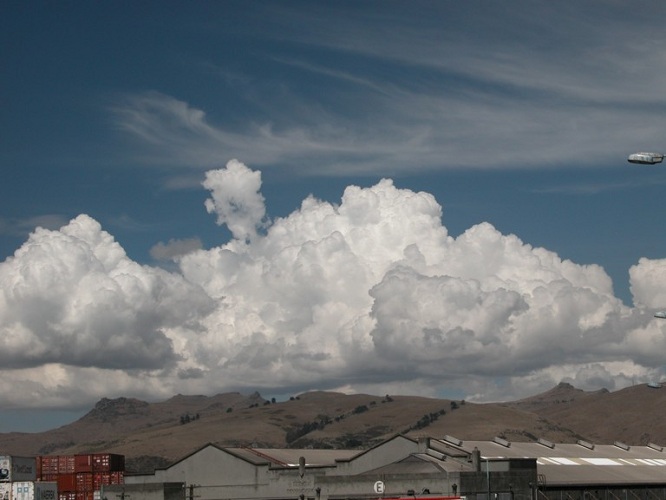
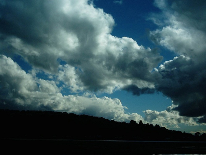
I saw some dark clouds brewing over Christchurch city so I went to investigate with my little digi in hand. I went to the estuary because of it being a big large space where you can get a good view of things going on. Those clouds had pretty much gone to a Cb by the time I got there, I’d say that I was about 14 to 15 km from the Cb. I also noted another Cb forming behind this first one, a section of the port hills was obscuring alot of it so only the anvil could be seen.
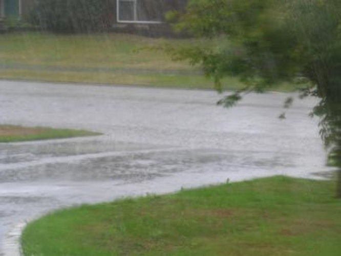
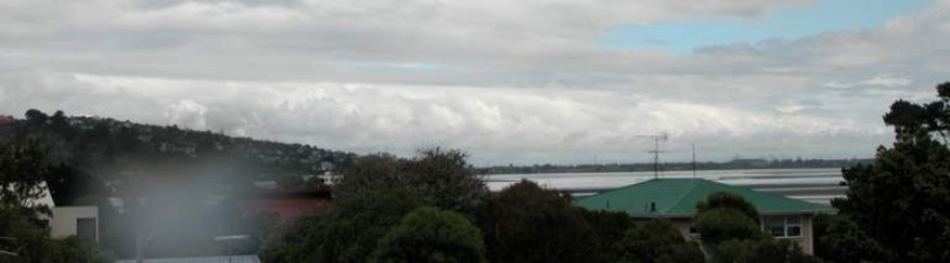
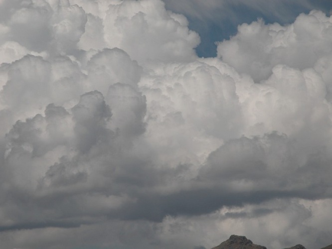
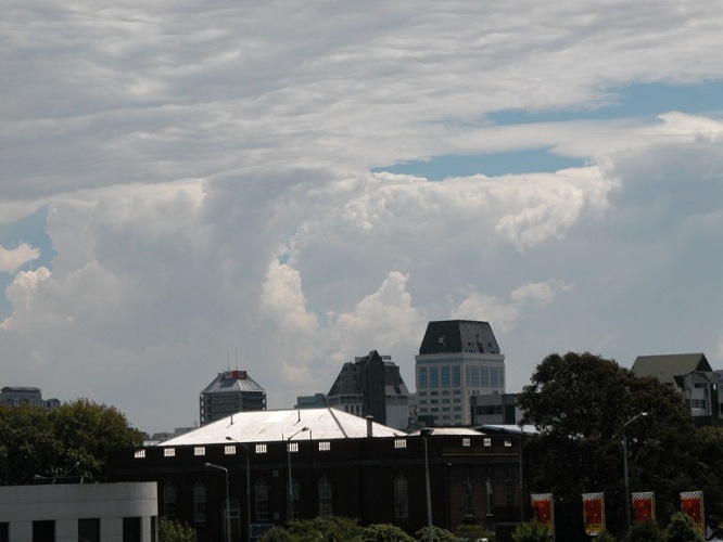
Ten minutes went by with not much happening except heavy rain was beginning to fall in Christchurch, Linwood apparently had a deluge with torrential rain as the storm moved eastwards. Steven Williams described to me how the storm was likely to of been a multicellular one due to the two rain shafts which can be seen in the image below, so this one can be labled a multicellular storm, albeit not a very strong one. A few CG’s had also gone off by now with nice bolts hitting the ground somewhere in Christchurch, there was one or two CC forked lightning aswell.
The storm wasn’t very long lasting and soon began moving eastwards over the top of me as it pumped out a few more last rumbles of thunder before it moved offshore and seemed to dissipate.
That second Cb I mentioned earlier forming behind the
first one I think might of moved east from where it was and I didn’t
get to see anymore of it, or it dissipated there maybe, or hanged
around until it joined up with the second system which formed about 1/2
hour to an hour after the first one, who knows? lol. But yeah……I’m
not to sure what happened with that one.
So what’s this second system I’m talking about? Read on!
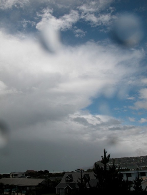
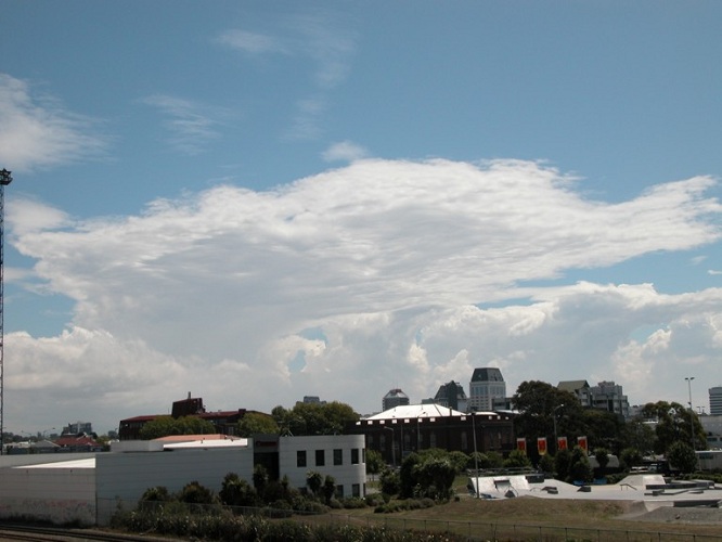
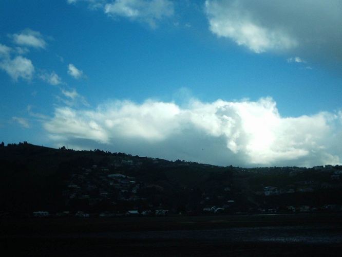
About an hour after the first Cb moved offshore
things began happening again and another Cb was forming in the same
spot the first did, this one was LP (Low Precipitation) and didn’t drop
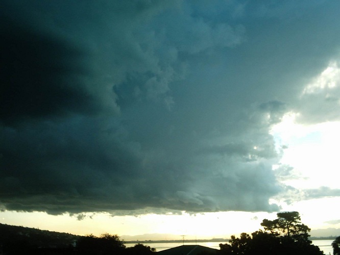
any of its rain until it moved offshore. Due to the sun lowering in
the west it was bright behind this Cb. I actually thought everything
was over once the first Cb moved offshore so I didn’t manage to get a
look at the second Cb in it’s developing stages.
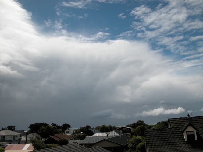
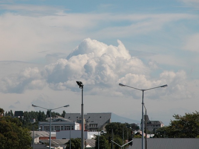
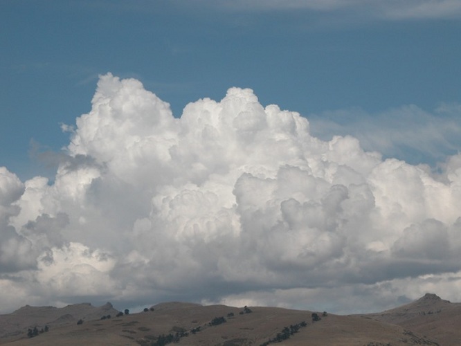
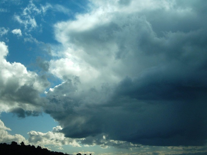
This part of the Cb produced no lightning but it looked good. It seemed to split in two and the front part of the Cb nearly went right over me and the other went to the left of me and became active over (Scarborough / Taylors’ Mistake) Banks Peninsula. I saw some sheet lightning go off aswell as a bit of CC forked lightning. The front part of the cloud as it came by me looked really amazing as it floated by with it towering up towards its anvil.
The front part that nearly went over me eventually went out to sea and soon dissipated whereas the second part which went to my left looked to still be active as it went out to sea. An ok day considering Christchurch hasn’t had a thunderstorm since January earlier this year, that’s 7 months without a thunderstorm!! Still I wouldn’t call it great by any means, something to suppress my SDS (Storm Depravation Syndrome) for the mean while.