
A very humid northerly airflow was over the country at this time as an area of high pressure moved away slowly to the east of the country, it extended a ridge back over New Zealand bringing the hot and humid conditions. Normally anticyclones or areas of high pressure in general are not the best to have around when thunderstorms are concerned, but aslong as the surface temperature and humidity can rise enough relative to the upper air temperatures unstable conditions can develop. Often these inland type storms are slow moving also and high rainfall rates can be experienced at times where they are as the storms don’t move far or to fast.
A very nice thunderstorm had occurred over inland areas of the upper South Island the day before and chances seemed possible for further storms today in the same area, the upper air had warmed slightly but the surface dewpoints and temperature came up a little bit to by the looks of things.
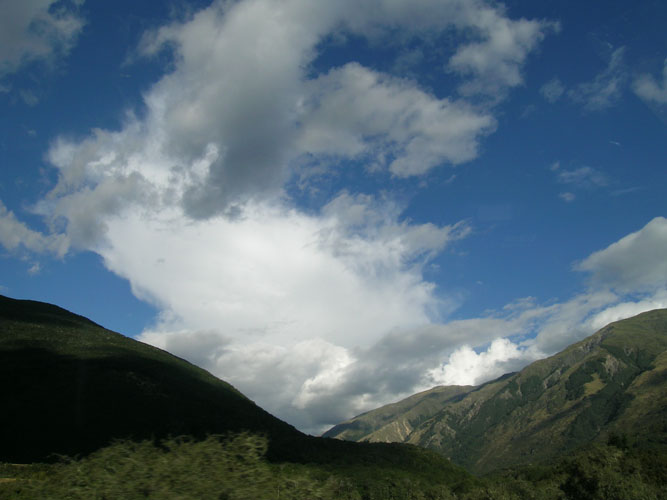
I called Steven Graham to see if he was keen to have a drive up north, by this stage in our storm pursuits we had already done a few failed trips to the West Coast in the search of storms so a trip up north seemed not so bad. We headed off from Christchurch hoping to see some late afternoon / evening thunderstorms. As we got beyond Springs Junction there was nice signs of cumulus congestus about and it was very hot and humid, we stopped and measured the temperature and humidity also. Steven Graham had a portable temperature / humidity reading device with him so we used that, we kept this thing in the shade for quite a while so there was no direct sunlight on it at all. We got amazing figures, a temperature of 35 degrees with a 20 degree dewpoint, Australia anyone?


We waited north of Springs Junction for a while but unfortunately the clouds didn’t seem to be getting anywhere …. infact they were shrinking, we started to drive back and somewhere between Springs Junction and the turnoff to Hanmer we had a check of the lightning tracker as we saw a Cb anvil through the mountains! It revealed a storm just starting to develop up behind Hanmer. It wasn’t our first thoughts as to where storms might develop, not that we had bad figures where we were already….. it might’ve just been a good convergence zone there. So we headed off towards Hanmer.

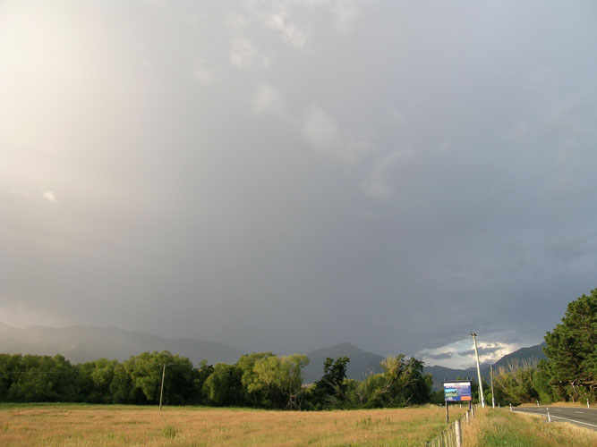
We got to an area just before Hanmer around 7.15pm, it was quite peaceful with no wind and very warm. Cicadas were in full swing chirping away. We could see the storm now sitting just behind the ranges surrounding Hanmer, visually it wasn’t much to look at but it was good to be out. We didn’t see any lightning as it was quite bright with the sun lowering in the western sky, but we did hear some distant thunder roll in from time to time. At around 8pm we took some further measurements and got 29 degrees with a 19 degree dewpoint.
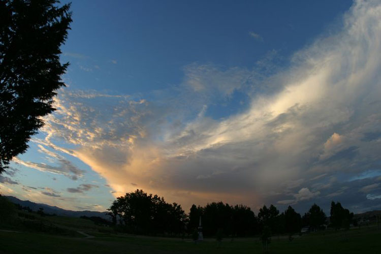
Not long after 8pm we left to go home as the storm appeared to be dying. We stopped for some fish and chips in Culverden and Steven took a photo of the Cb lit up by the setting sun, quite a nice site to see!
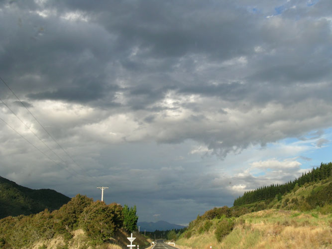
So in the end we probably didn’t need to go as far as we did but that’s the game were playing, as we got near Weka Pass coastal low cloud and murk rolled in.