
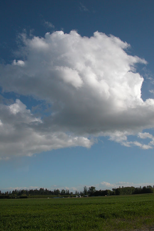
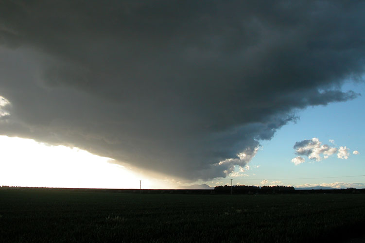
A fairly normal thundery set up today with a front moving over the
South Island during the morning then cold upper air moving over in the
afternoon with a surface convergence acting as a trigger. This day could
have been better if it wasn’t for a gusty surface northwesterly about
north of Rakaia that dried the air out a bit, where this convergence
formed near Ashburton there wasn’t any surface northwesterly but it
wouldn’t have been to far up in the atmosphere and didn’t let these
clouds reach their full potential.
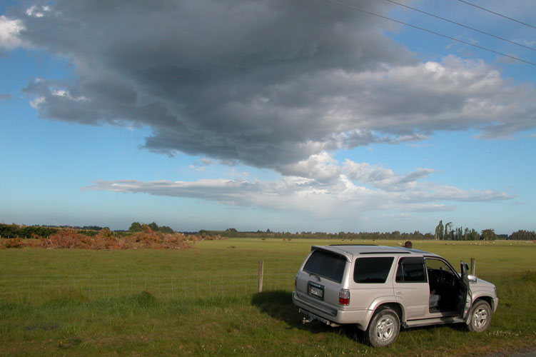
Even though things didn’t look very good with a gusty northwesterly in
Christchurch we headed south anyway mid afternoon with the hope it might
drop out and something would develop near Ashburton, that is pretty
much what happened. Things developed late and around 5.30 or 6pm it went
quite still, hardly any wind and it was very pleasant. A good sign that
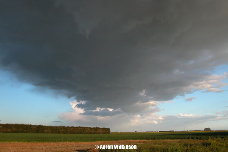
we were in the convergence zone. Cumulus started to develop then formed
into a line heading out to sea.
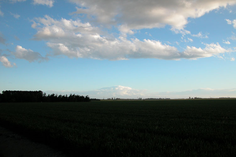
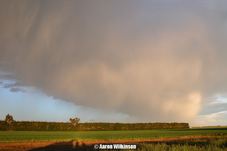
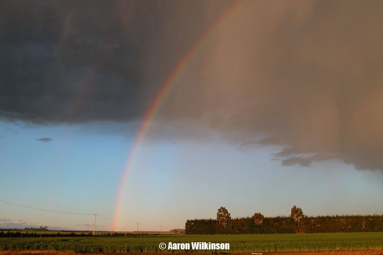
We repositioned slightly and ended up at the intersection of Singletree and Fairfield Road judging by one of my photographs, we were definitely on Singletree Road anyway…. This convergence line started to produce a shower and also some small hail. And low and behold one rumble of thunder came from up in the cloud somewhere, lol. This report isn’t one where there was a terrifying storm bearing down on us, the reason I put it up is first of all, to atleast give this site some more content! And second (probably more importantly), this small convergence line produced some great photos! The lighting and time of day, the rain and clouds make some of my other photos which come from full on thunderstorms look worthless. And normally I would consider powerlines a nuisance when photographing thunderstorms but in this instance the light created a visual feast!

This is the last report I would use my trusty Nikon 5700 digital camera, it was a great camera and used with good hands amazing photos could be made.