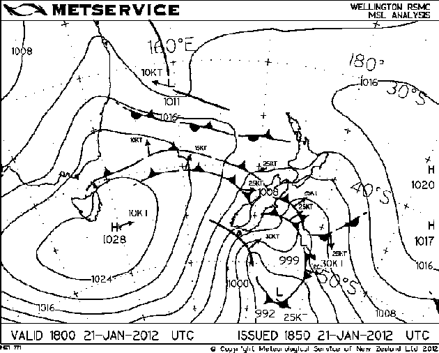
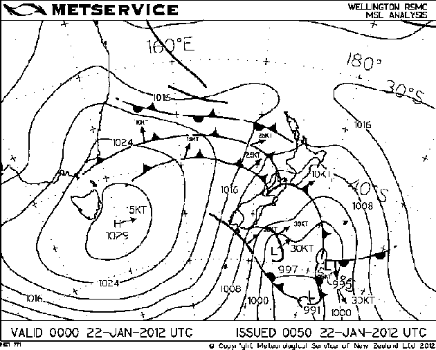
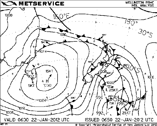
This event looked quite possible about 4 or 5 days out by going through weather models. Very cold air (-28°C 500mb) was dragged over the South Island from an initial frontal zone, the surface wind did change southwesterly with this front in the morning but I was hoping it would die out in the afternoon and then give a clearance with some sun for a time which sort’ve happened. For a brief moment doubt did creep in as the southwesterly front and cloud / rain did seem to hang around a bit longer then I thought it would, I always seem to have a moment of doubt at times on storm days as thunderstorms need unique factors to come together for them to happen.
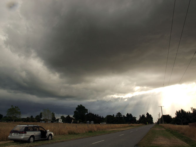
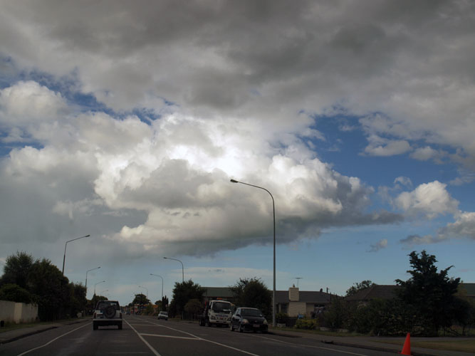
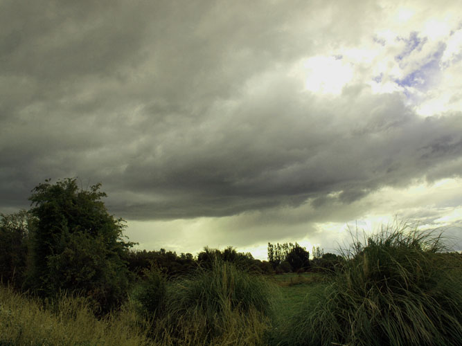
The southwesterly didn’t totally die out but it did ease a fair bit with the sun coming out around 5pm, then in the evening around 7pm a trough I was expecting came up with an invigorated south to southwesterly airflow delivering thunderstorms! And would you believe I was stuck at work……………Nooooooo!!!….. However! Luckily Steven Burrows was covering North Canterbury and Jason Tippet / Mike Stewart were covering areas west and south of Christchurch. Steve seemed to be in the best spot for these storms that moved through although Jason and Mikey did get to see some lightning going off. I was in the Spreydon area at the time of the storm and observed a flash or two and heard some thunder, the storm while not overly active above the city it did class as a thunderstorm and Christchurch itself hadn’t really seen a storm in ages. In the first photo below Steve actually observed a short lived funnel coming out of this small cumulus cloud near Kaiapoi while heading north, unfortunately he couldn’t get his camera out in time.
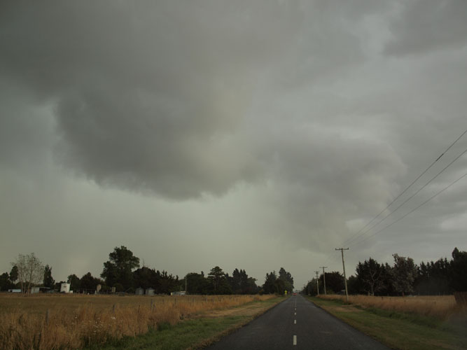
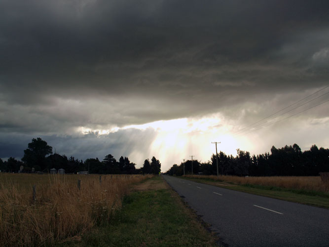
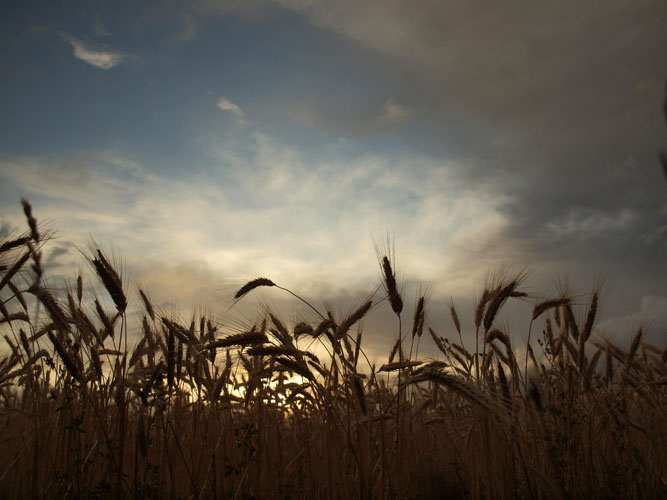
The next 5 shots here saw Steve just north of Rangiora, he observed a number of Cg’s here which he filmed. The third photo below shows a cloud base which Steve saw rotating, so that’s pretty cool! The last photo is looking south with some mammatus hanging out of the back of the Cb.
As the storm moved north Steve drove up towards Greta Valley and saw more lightning on the way, the storm did move quite quickly though and he decided to end the chase there. I was gutted being stuck at work but glad these guys got out there to see what was going on.
When looking at satellite images I saw a nice line of Cb’s off the coast of Westport develop about the time I finished work (8.30 – 9pm), I figured at the time it would be a fantastic chance to do some evening / night time lightning photography but no way could I get there. A month later I saw this (click here) image appear in a weather photo gallery run by Metservice, someone out there was thinking the same idea as me! Wicked shot Francis Carmine.

