What an awesome storm this was! Absolutely loads of lightning going by the trackers and some great structure.
Pity I couldn’t get in the thick of it as I was in town at work.
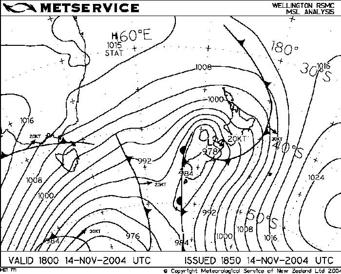
An upper cold pool of air ( -22C 500mb ) was moving down from the north rather than the typical up from the south track. It did originate from down south however as I remember it, it sort’ve came up through the Tasman Sea then stalled moving eastwards slightly and then drifted southwards which was a bit unusual. As it came over sunny skies and good early morning temps (18C) and dewpoints (12 to 13C) initiated development early with towers going up on the plains with no cap to inhibit convection. Soon some of these went to Cb and a few towers to the northwest begun to produce lightning but nothing intense. Shear wasn’t very good with weak winds throughout the wind shear profile, this meant storms that formed early wouldn’t really go anywhere and would collapse after their mature phase pretty quickly which they did.
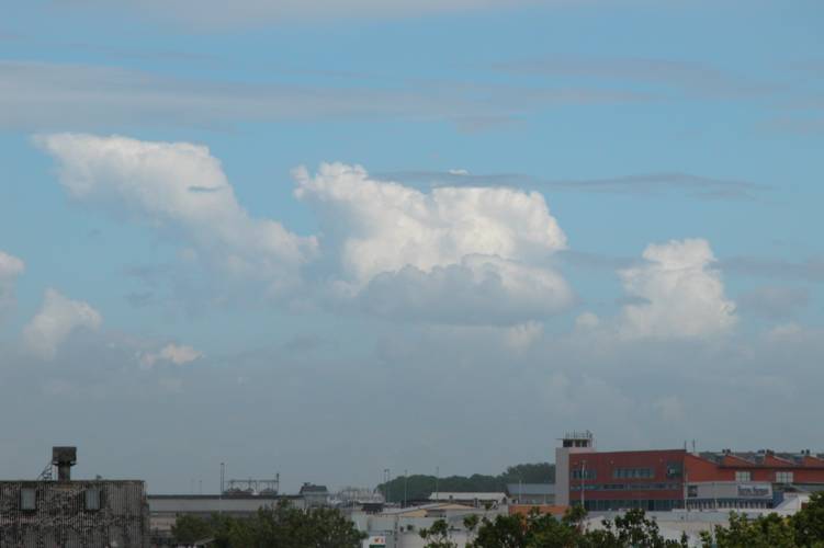
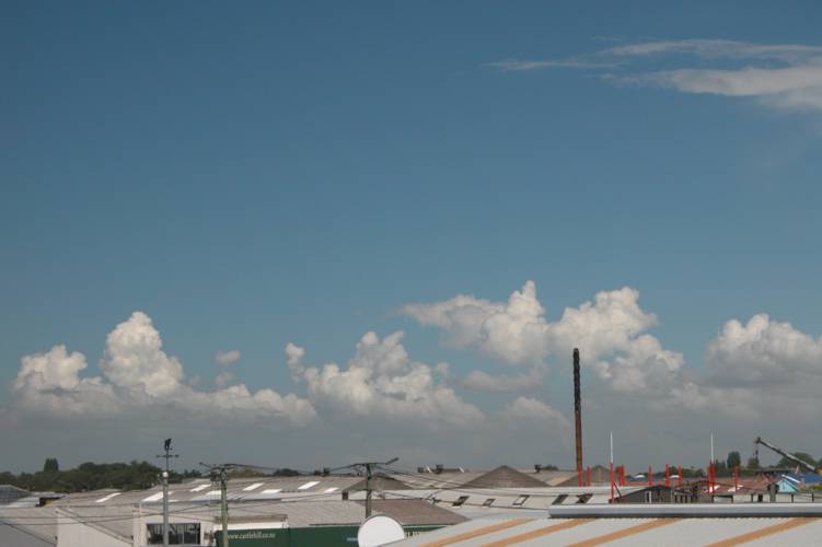
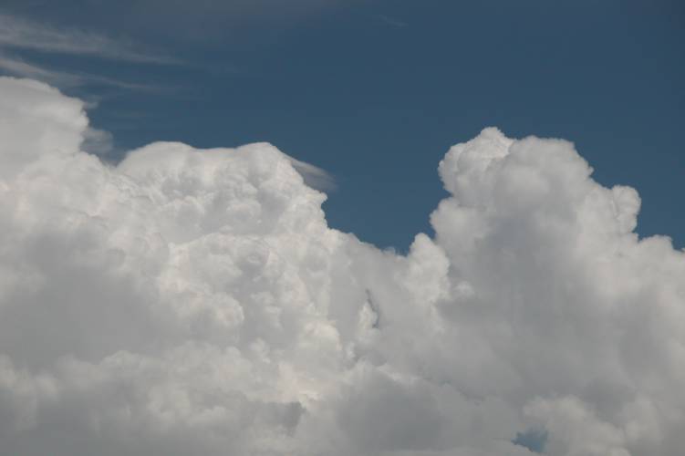
Some nice instability began to form again which looked to be helped by a NE / S convergence, only light at this stage but it kept things alive until a southerly change came through. An area just southwest of Christchurch was to be where the main storm system for today would form near me, there was a larger area of storms in South Canterbury for this day however at the time I didn’t realise. After having taken a few pictures of this new development I went back to the office and then after a while went back outside again and saw nice big Cu congestus go to Cb around NZDT 3:00pm. No lightning was happening yet but this Cb would grow to become quite big aided by the convergence.
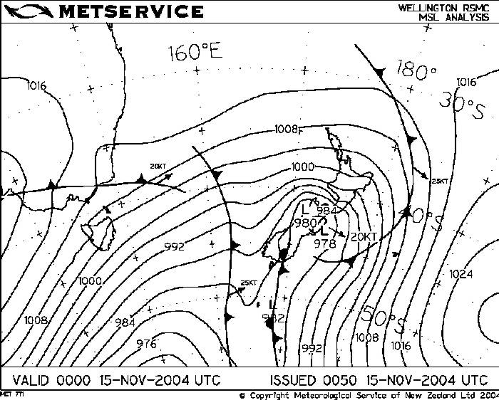
So back to the office I went (such fun!) and then I went out for another walk when things were getting dark at around NZDT 4:00pm. By now lots of strikes were beginning to happen in the area SW of Chch (look at the tracker screen capture!). I couldn’t see anything yet (lightning that is) from where I was but it was dark on the plains. And unfortunately I wasn’t to see much! As the darkness came over I got to see some nice Cg’s and Ic lightning but no more than 10 strikes all up. I had to go back to the office as it began to rain.
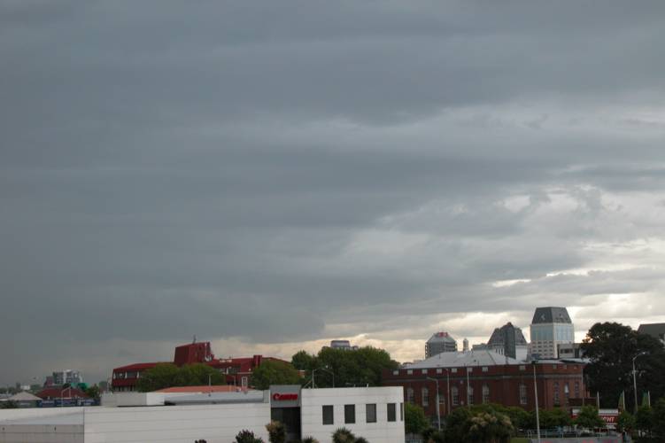
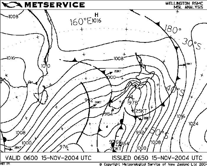
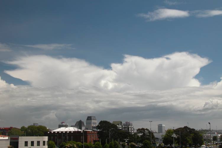
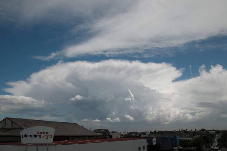
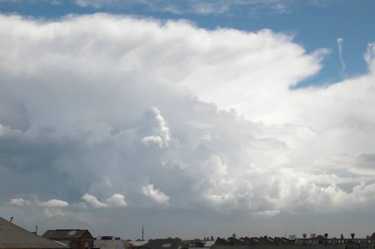
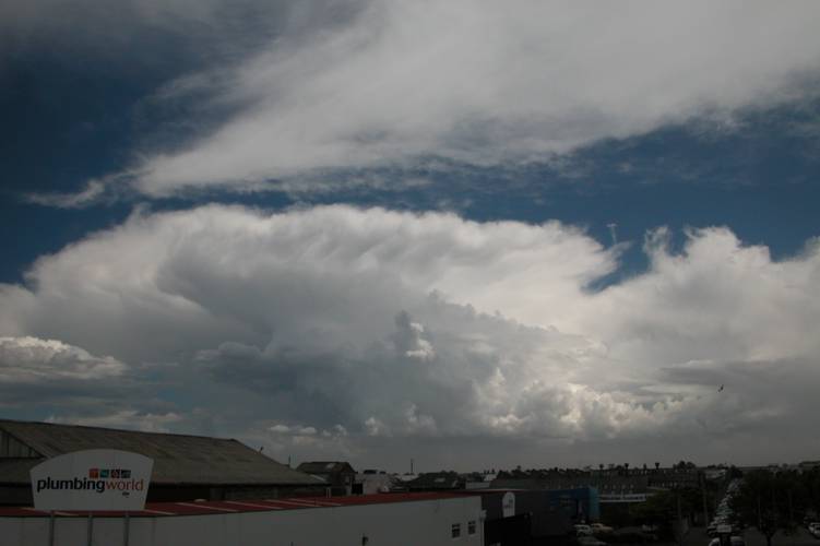
The wind shifted to the southwest and then the Cb began to move on through. As it did I saw some nice vertical structure through the murk that looked impressive, it gave off one more rumble then it was heavy rain as the Cb moved off to the northeast which it then soon dissipated. It’s a bugger I can’t give a more action packed report but had I been southwest of Christchurch there would’ve been loads to tell I’m sure!
Of course there were other storm enthused buddies out there that got some photos to which is great!
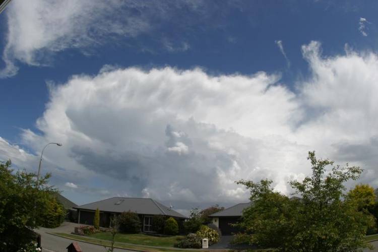
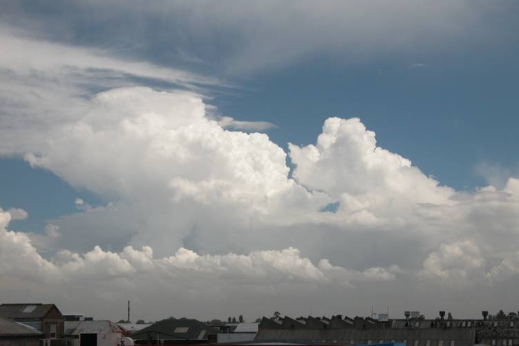
Steven Graham in Templeton got some nice shots of the main developing Cb. As you can notice it shows similar things to my Cb photo’s, just from a different angle.