
2011 was not a good year for thunderstorms in Canterbury! To be
honest it hasn’t really been that good in a while apart from a reprieve
in 2009. Oh the pain, had to go after anything that looked possible.
Would you believe Christmas Day was the only good day in 2011, why did
it have to be Christmas Day! I couldn’t just abandon the family could I?
I didn’t this time, but who knows in future if it looks good enough.
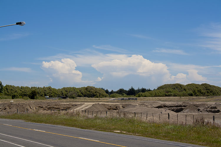
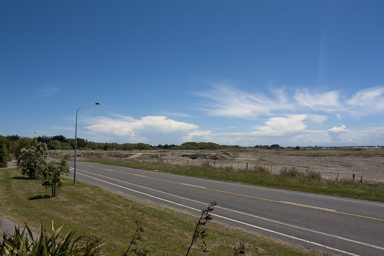
Those storms on xmas day happened mainly down towards Fairlie as a
result of surface heating and moisture creating an unstable atmosphere,
also good surface convergence on the foothills down there. I’ll include
two photos at the end of this report showing the cumulonimbus clouds as
they started to fire taken from me back up in Christchurch looking over
the back fence!
So back to this day in November, as I said we went after anything and
this storm wasn’t great at all really. Saw one lightning strike and
heard one lot of thunder, that was it and I got the only bolt on video.
Hooray! not….. The upper air (500mb) was cold at around -25 to -26 °C.
Surface conditions were not very favourable being northwesterly and
drying it out, however sometimes you will get storms just on the coast
south of Banks Peninsula as fronts move up from the southwest in these
conditions. This is what I was counting on as a southwesterly wind
change was moving up, the best timing going by the models was just after
6pm so Steve and me set up at the Selwyn River mouth of all places
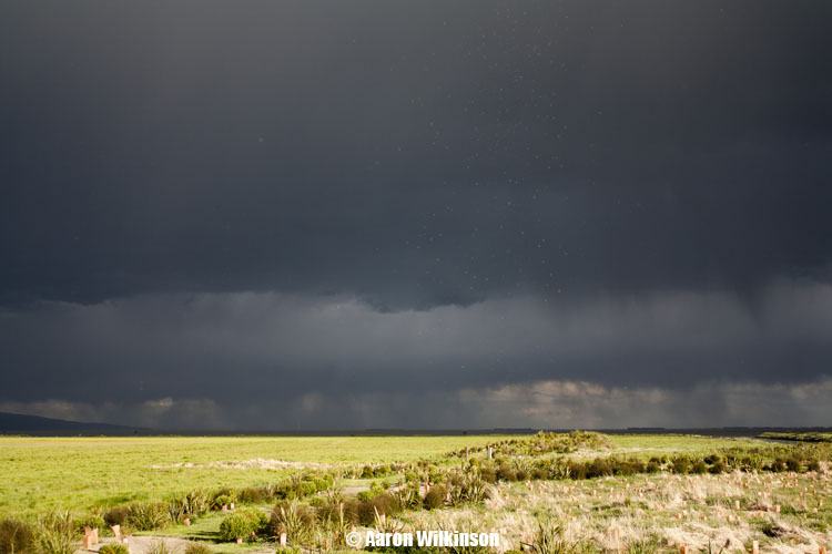
around then and watched a dark cloud brew.
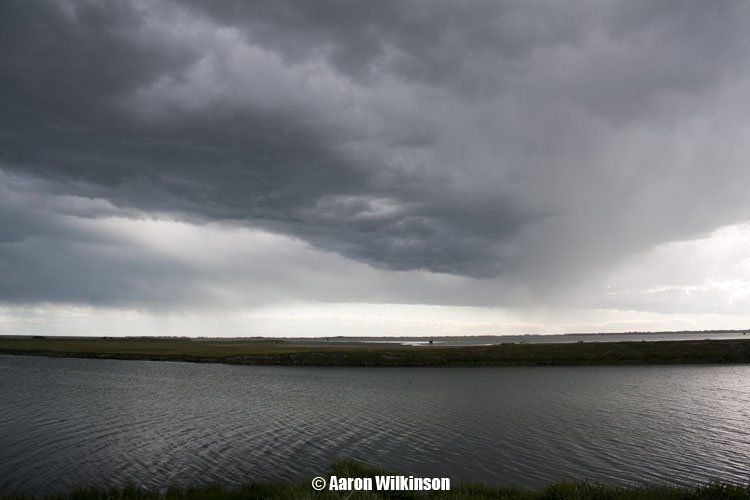
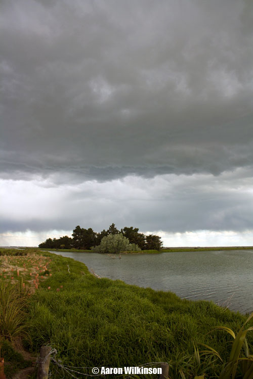
It was quite high based but looked photogenic with the mouth of the Selwyn in the foreground. Not long after a break in the clouds to the west let the sun in and bam the ground was lit up amazingly bright, the clouds became very dark looking with this contrasty situation upon us. Made for some nice looking photo’s and this is about the time the lightning bolt shot out.
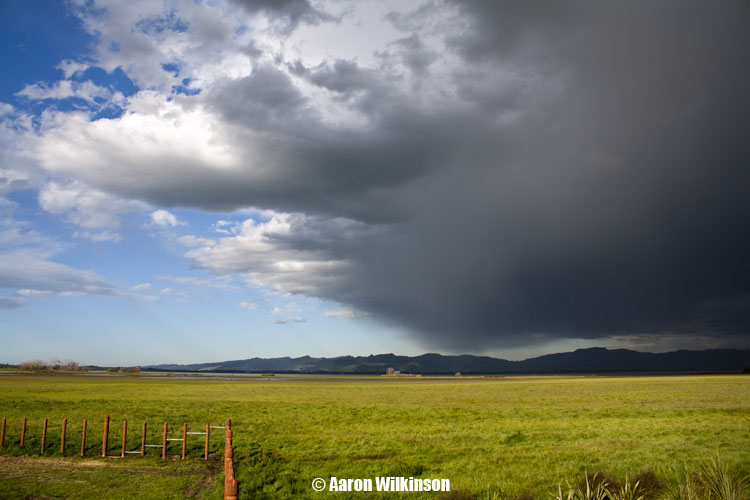
In the last photo above it looks like I might have dust on the lens or sensor but infact it was all these bugs flying around in groups! And that was it! Atleast we didn’t have to go far, oh how sad the times are when I cover a report such as this. But it was a brief thunderstorm, atleast we got out there as it could’ve developed into something a bit more but this time it wasn’t to be.
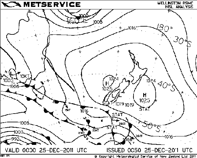
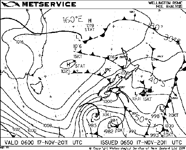
And here are the storms that appeared on Christmas Day with associated MSLP maps. A bit odd happening in the middle of an anticyclone but it can happen if conditions suit.


